

Undergraduate GIS Certificate
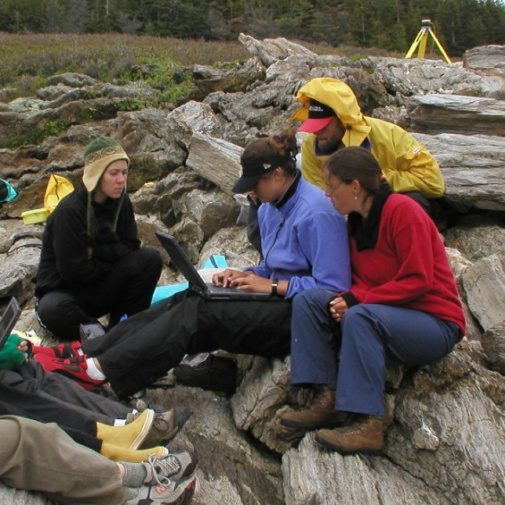
Applied Geographic Information Systems
Graduate GIS Certificate
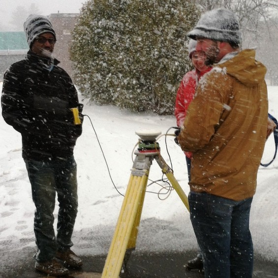
Applied Geographic Information Systems
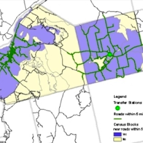
Digital Atlas
The Digital Atlas is a teaching tool available to all members of the University of Southern Maine community.